A dilapidation report creates an independent, timestamped record of existing property conditions before construction begins — protecting property owners, developers, and contractors from dispute when works are complete.
A dilapidation report is a systematic, photographic and video record of the condition of a structure or property at a specific point in time — before nearby construction, excavation, or demolition begins.
It documents existing cracks, movement, surface damage, drainage conditions, and structural state with enough detail that any new damage caused by subsequent works can be clearly identified and attributed.
Without a pre-construction record, disputes about whether damage existed before works are almost impossible to resolve. With one, the facts speak for themselves.
If a neighbour is about to start excavation, demolition, or significant construction near your building, a dilapidation report commissioned in your own name gives you an independent record of your property's condition before works begin. If damage occurs, you have documented proof of what existed before.
Before breaking ground on any project that involves excavation, demolition, or vibration within proximity of existing structures, a dilapidation survey protects you from claims that pre-existing damage was caused by your works. Many development permits require it. All professional contractors should be ordering one as standard practice.
Road works, pipe laying, bridge repairs, and public infrastructure projects routinely require dilapidation surveys of adjacent private and public assets — both to meet permit conditions and to manage community relations through transparent documentation.
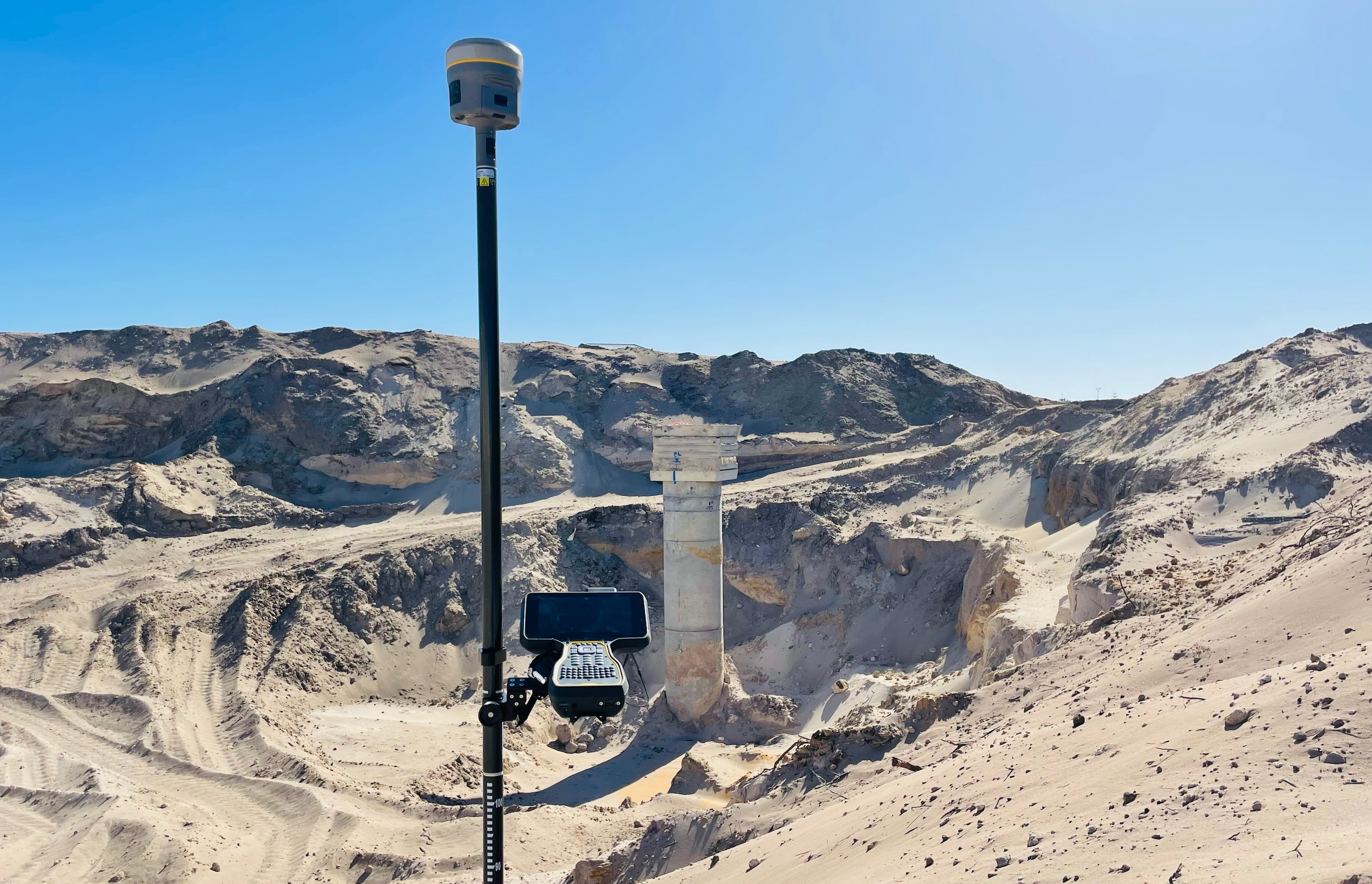
Our reports cover all external accessible areas using a combination of 4K 360° video and systematic high-resolution photography. Every element is timestamped and geotagged.
Walls, foundations, slabs, columns, lintels — cracks, spalling, displacement, and existing movement recorded with measurements.
External render, brickwork, cladding, window frames, and doors — condition, existing damage, and settlement noted.
Driveways, paths, paving, kerbing — surface condition, existing cracking, and levels documented.
Retaining walls, garden beds, drainage outlets, and surface water paths — baseline conditions recorded.
A continuous video record of all accessible areas — timestamped and archived as primary evidence.
Systematic photographic coverage of all structures with geotagged, timestamped images.
The report must be completed before construction or excavation begins. A dilapidation report has no evidentiary value once works have started — the baseline no longer exists.
Offices in Huntingdale (Melbourne) and Geelong. Contact our team to confirm availability for your project location and start date.
A complete, defensible record — ready for lodgement with council, sharing with all parties, and archiving.
Continuous walkthrough video of all accessible property areas — timestamped, geotagged, and archived. The primary evidentiary record in the event of dispute.
Systematic high-resolution photos of all structures, surfaces, finishes, and drainage conditions, with annotations noting existing defects and their location.
Structured report documenting all observed conditions, defect descriptions, and recommendations — suitable for submission to councils, lawyers, and insurers.
Need utility locating as well as a dilapidation survey before your works begin? Contact HR Utilities — both services can be coordinated in a single mobilisation.
Dilapidation reports are not universally mandated by law in Victoria, but many councils require them as a condition of development permits, particularly for works involving excavation, demolition, or construction within a specified distance of neighbouring structures. Even where not required, they are widely regarded as standard practice for managing liability and dispute risk. Check your planning permit conditions or contact our team to discuss your project.
The report must be completed before construction or excavation begins — it has no value if works have already started, as pre-existing conditions can no longer be separated from construction impacts. We recommend booking as soon as a development permit is issued or a construction start date is confirmed. Contact our team to discuss timing and availability.
The report is commissioned by and delivered to the party who orders it — typically the developer or principal contractor. In disputes, the report serves as independent evidence for both parties. Property owners adjacent to works can also commission their own independent dilapidation report for their own protection, separate from any report ordered by the developer.
Generally, all structures within the zone of influence of the proposed works should be surveyed — typically properties within 50 metres of excavation, or further for deep basement works or vibration-generating activities. Your structural engineer or geotechnical adviser can define the zone of influence for your specific project. Where uncertain, surveying a wider area is always the safer approach.
Expert utility locating services with BYDA certified precision.
Serving projects across Australia with advanced subsurface mapping solutions.