HR Utilities delivers comprehensive subsurface mapping solutions using multi-sensor detection technologies to create detailed underground infrastructure maps with GIS integration and customized deliverables.
At HR Utilities, our subsurface mapping solutions combine multiple detection technologies to create comprehensive underground infrastructure maps. We deliver detailed subsurface documentation using advanced multi-sensor approaches for complete project visibility.
Our team of highly skilled Service Locators and Utility Surveyors utilizes cutting-edge technology to map complex subsurface networks, ensuring accurate documentation and seamless integration with your project management systems.
"Precision Below. Accuracy Above."
Delivering comprehensive mapping solutions since 2012.
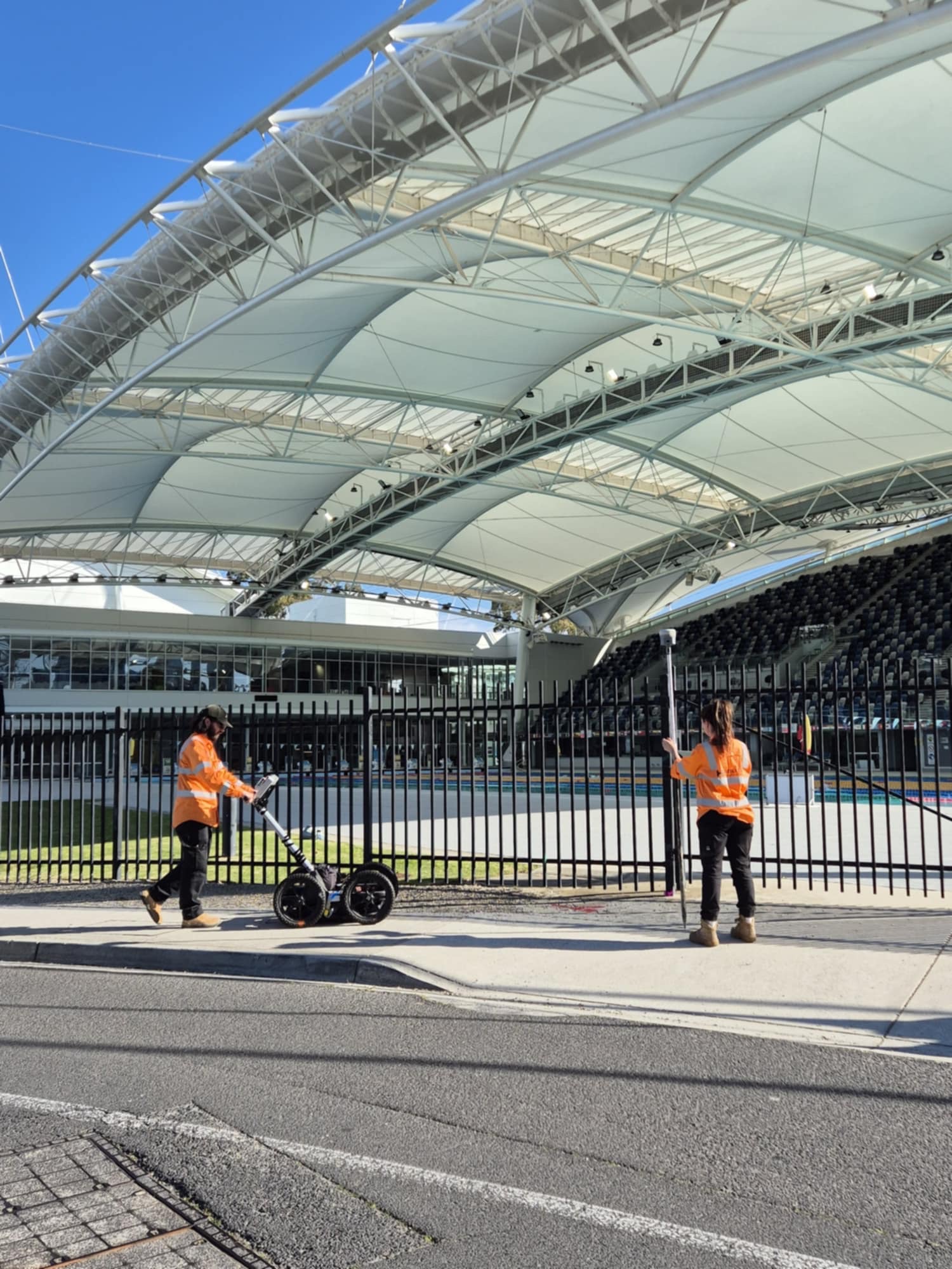
Our subsurface mapping solutions utilize multi-sensor detection technologies and advanced processing techniques to deliver comprehensive underground infrastructure documentation tailored to your project needs.
Comprehensive subsurface detection using electromagnetic induction, ground penetrating radar, and acoustic methods for complete infrastructure mapping.
Advanced mapping solutions providing both traditional 2D plans and comprehensive 3D models for complete subsurface visualization.
Professional GIS-compatible mapping solutions enabling seamless integration with existing geographic information systems and asset management platforms.
Tailored subsurface mapping solutions designed to meet specific project requirements and industry standards for various applications.
Expert utility locating services with BYDA certified precision.
Serving projects across Australia with advanced subsurface mapping solutions.