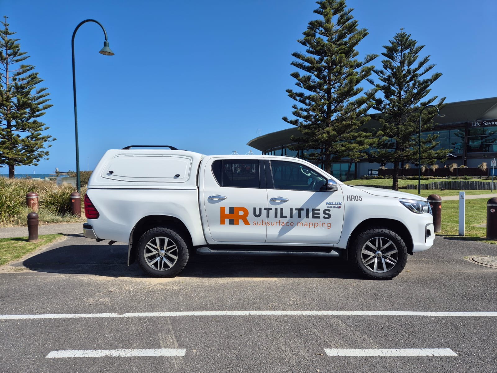
HR Utilities stands among Australia's premier utility locating companies, providing precision subsurface mapping and infrastructure detection services since 2012.
At HR Utilities, we are dedicated to providing precise and reliable solutions for locating and mapping subsurface infrastructure and existing services. Our goal is to deliver comprehensive Utility Plans tailored to your project's unique requirements.
With a team of highly skilled Service Locators and Utility Surveyors, we strive to maintain the integrity of underground networks while prioritizing the safety and success of every project. At HR Utilities, we bridge the gap between what's hidden below and the needs above, keeping both the infrastructure and the people connected to it secure.
"Precision Below. Accuracy Above."
As one of Australia's leading utility locating companies, we offer a complete range of specialized services using the latest technology and industry best practices.
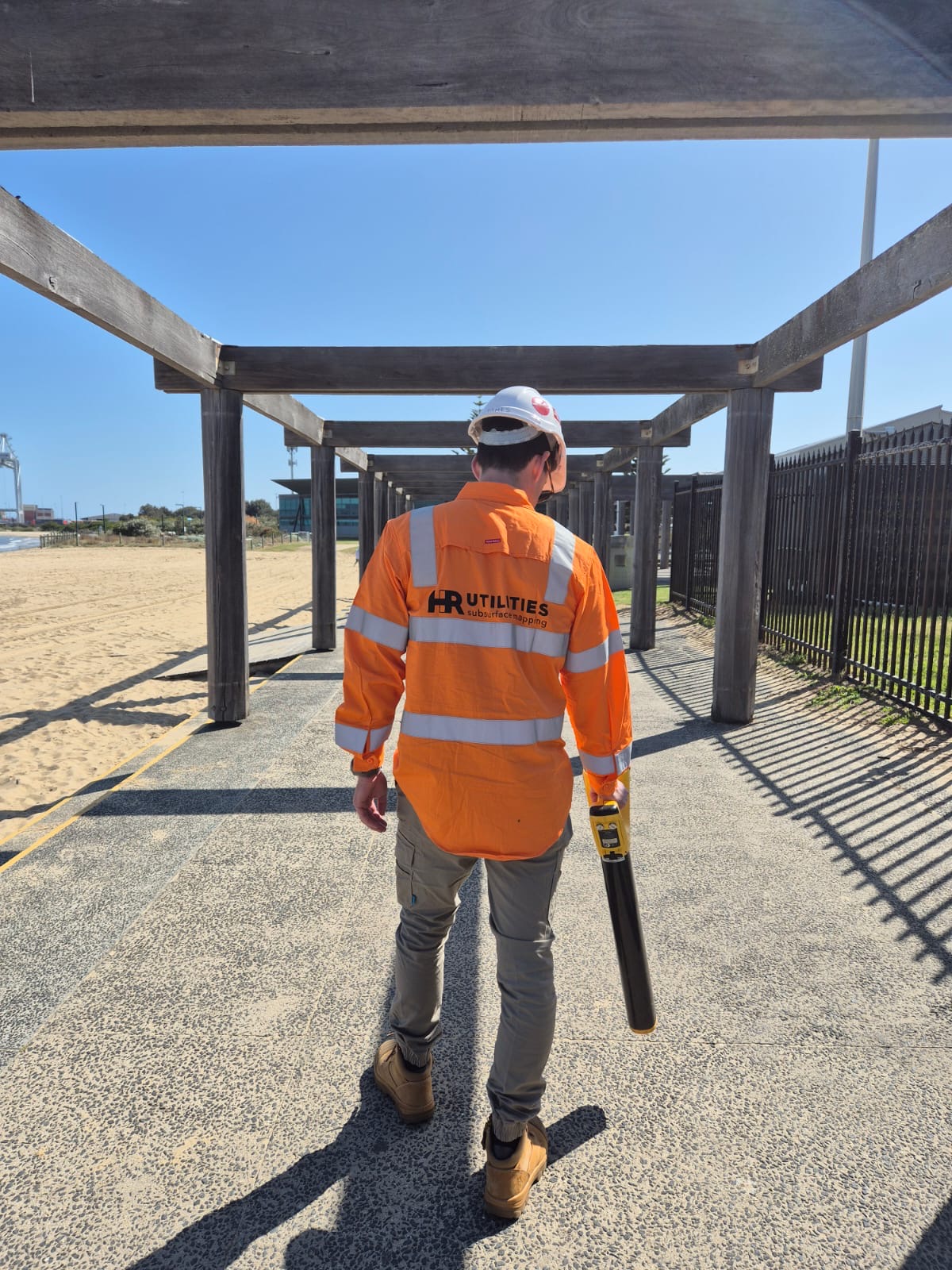
Electromagnetic induction and Ground Penetrating Radar (GPR) to accurately locate both metallic and non-metallic underground utilities.
Clear, real-time view of underground pipes and drains, helping to quickly identify blockages, leaks, and structural issues.
Precise data collection, adhering to Australian Standard requirements with detailed survey plans for safe and efficient construction.
Ground penetrating radar technology to detect and map subsurface features within concrete slabs or structures.
Using advanced technologies and methodologies, we capture, record, and document utility data that ranges from traditional PDF drawings to complex 3D models. These plans are designed not only to aid in future designs but also to facilitate pipe clash detection, ensure smooth project execution, and promote safe maintenance during construction.
We use BYDA approved locating equipment for accurate and reliable results.
All data collection adheres to Australian Standard AS5488 requirements.
From basic alignments to complex 3D models and BIM integration.
Leveraging drones, laser scanners, GPS & total station technology to capture comprehensive site conditions.
UAV and handheld collection allows complete site modeling, visualizing underground data against above ground features.
High-quality photographs, 4K 360-degree video, and detailed descriptions for complete project documentation.
Our expert team provides reliable utility locating services across Victoria, Melbourne, and Geelong, with capabilities to support projects throughout Australia.
Comprehensive utility locating services across all of Victoria, understanding local regulations and requirements.
Learn more about our Victoria services →Expert utility mapping and locating services for Melbourne's complex urban infrastructure environment.
Discover our Melbourne capabilities →Specialized inspection and locating services for Geelong region projects and infrastructure.
View our Geelong services →Expert utility locating services with BYDA certified precision.
Serving projects across Australia with advanced subsurface mapping solutions.