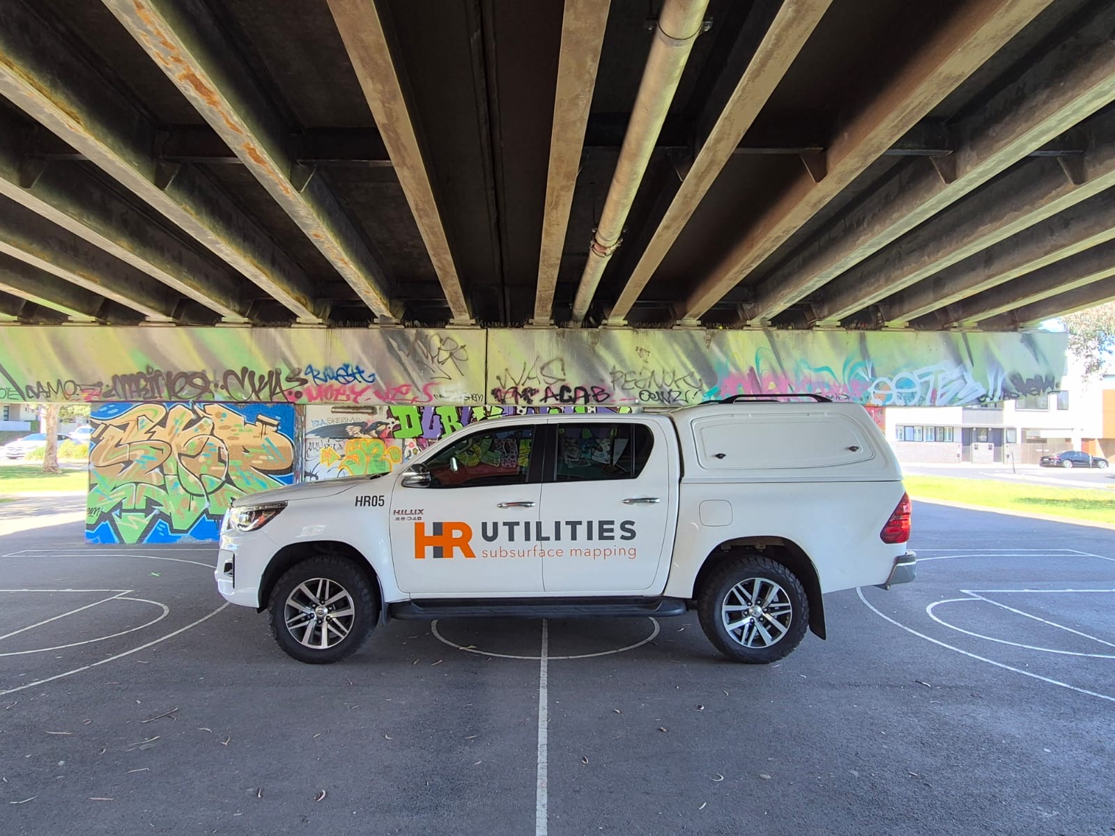
HR Utilities is a professional utility mapping company specializing in comprehensive subsurface infrastructure mapping and documentation services across Australia.
At HR Utilities, we are dedicated to providing precise and reliable solutions for locating and mapping subsurface infrastructure and existing services. Our goal is to deliver comprehensive Utility Plans tailored to your project's unique requirements.
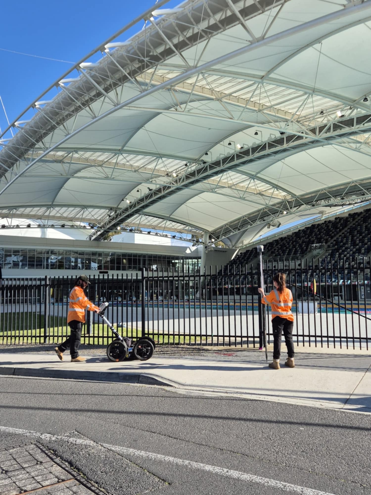
With a team of highly skilled Service Locators and Utility Surveyors, we strive to maintain the integrity of underground networks while prioritizing the safety and success of every project. At HR Utilities, we bridge the gap between what's hidden below and the needs above, keeping both the infrastructure and the people connected to it secure.
"Precision Below. Accuracy Above."
Transforming subsurface data into actionable intelligence for informed decision-making.
As a specialized utility mapping company, we provide complete subsurface infrastructure documentation using advanced survey techniques and technology.
Detailed understanding of existing site conditions, forming a reliable foundation for planning and design with high-accuracy survey methods.
UAV and handheld collection allows complete site model building, visualizing underground data against above ground features.
Capturing data in accordance with Australian Standard 5488, delivering from basic alignments to 3D strings and IFC/BIM models.
Accurate mapping and documentation of all utility assets adhering to Australian Standard requirements with MGA and AHD referencing.
Using advanced technologies and methodologies, we capture, record, and document utility data that ranges from traditional PDF drawings to complex 3D models. These plans are designed not only to aid in future designs but also to facilitate pipe clash detection, ensure smooth project execution, and promote safe maintenance during construction.
Professional deliverables in industry-standard CAD and GIS compatible formats.
Complete site models with digital terrain modeling and 3D visualization.
All mapping data captured in accordance with Australian Standard 5488.
Our utility mapping company provides expert services across Victoria, with specialized knowledge of Melbourne and Geelong regions, plus capability to support projects nationwide.
Comprehensive utility mapping services across Victoria with local expertise.
Learn more about Victoria services →Expert utility mapping for Melbourne's complex urban infrastructure.
Discover Melbourne capabilities →Specialized mapping services for Geelong region projects.
View Geelong services →Latest GPS, total station, and UAV technology
AS5488 compliant data capture and delivery
Over a decade of mapping expertise
From data capture to final deliverables
Expert utility locating services with BYDA certified precision.
Serving projects across Australia with advanced subsurface mapping solutions.