Before you drill, core, or saw-cut concrete — know what's inside. GPR scanning identifies rebar, post-tension cables, conduits, and plumbing in real time, without breaking ground.
Ground Penetrating Radar (GPR) transmits radio pulses into concrete and reads the reflections. Different materials — metal, plastic, voids — reflect differently, giving the operator a real-time cross-section of what's inside.
Modern GPR equipment can image to depths of 400–600mm in typical concrete, covering the full depth range of most residential and commercial slabs.
Any time a drill, saw, or core barrel is going into concrete of unknown internal layout, a GPR scan should be the first step. The cost of a scan is a fraction of the cost of cutting a post-tension cable or live conduit.
From booking to marked slab — a fast, non-invasive process that keeps your project moving.
We review your drilling or cutting plan, identify target locations, and confirm slab access before mobilising to site.
Our technician scans the slab using calibrated GPR equipment in a systematic grid pattern over all nominated areas.
Detected features are marked directly on the slab surface and documented in a written report with depth estimates — ready for your trades.
Documentation your trades can act on immediately.
Detected features marked directly on the concrete surface using paint or chalk, clearly showing position, orientation, and spacing.
Cover depth and invert level estimates for rebar, cables, and conduits at each drilling or cutting location.
Documented scan findings with annotated site sketches, feature descriptions, and recommendations for safe drilling zones.
Yes. Ground Penetrating Radar uses low-energy radio waves that are completely safe for operators, nearby workers, and building occupants. No radiation is involved. The process is non-destructive and requires no physical contact with the concrete.
In typical concrete conditions, GPR depth accuracy is within 5–10% of true depth. Accuracy depends on concrete mix, moisture content, and aggregate type. Our technicians interpret data in real time and provide depth estimates for all detected features.
Yes — and this is one of the most critical applications. Post-tension cables carry significant tension and cutting one can cause structural failure or serious injury. GPR reliably detects post-tension cables, making it essential before any cutting or coring of post-tensioned slabs.
Scan time depends on area size and complexity. A single core drilling location can be cleared in under an hour. Larger slab areas or full-floor scans typically take half a day. Contact our team with your area dimensions for an accurate time estimate.
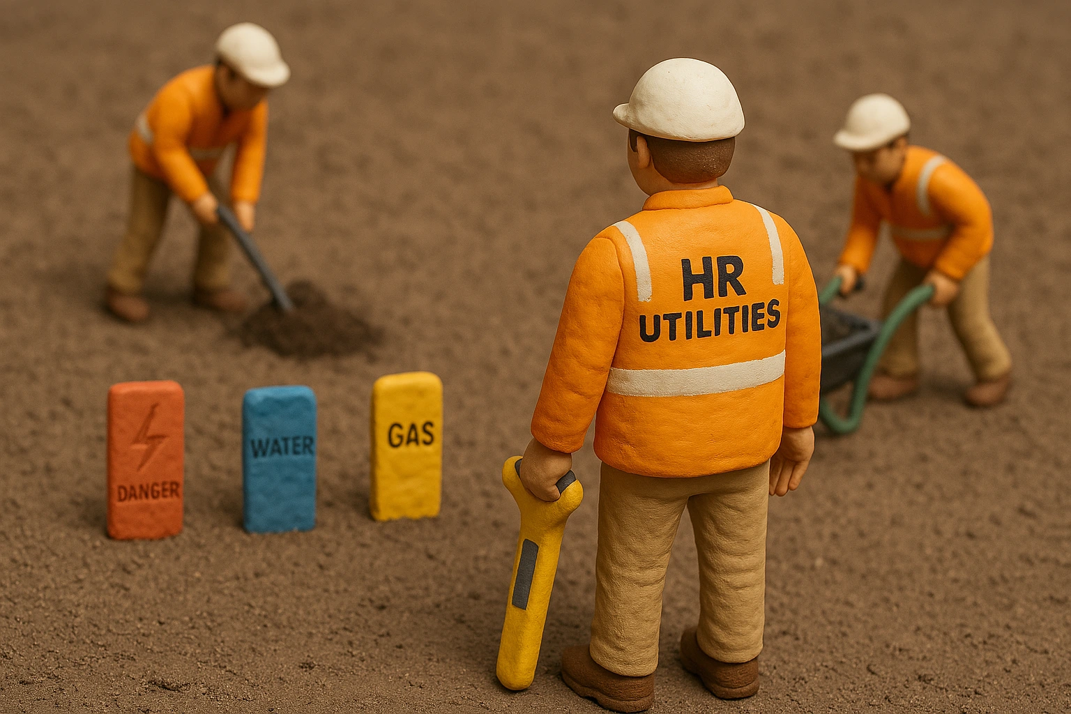
Part of HR Surveyors — concrete scanning data can be integrated with utility survey plans for complete subsurface documentation.
Expert utility locating services with BYDA certified precision.
Serving projects across Australia with advanced subsurface mapping solutions.