Non-metallic utilities
Investigate PVC, HDPE, concrete ducts, and buried features that may not conduct an EMI signal.
GPR services
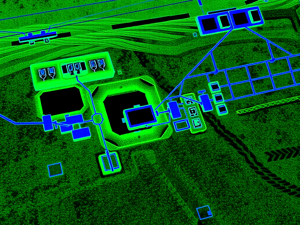
Ground Penetrating Radar helps find non-metallic utilities, concrete reinforcement, voids, and buried features that other methods can miss. HR Utilities uses GPR as part of a practical field investigation, not as a standalone guess.
Our team combines GPR with electromagnetic induction, GPS, total station survey, and CAD/GIS deliverables so engineers and site teams can act on the data.
Electromagnetic locating works well for conductive pipes and cables. It cannot trace every PVC pipe, concrete duct, void, or reinforcement pattern.
GPR sends radar pulses into the surface and reads reflections from buried features. HR Utilities uses it to add coverage where EMI cannot give the full picture.
GPR suits projects where non-metallic services, concrete, or unknown subsurface features may affect work.
Investigate PVC, HDPE, concrete ducts, and buried features that may not conduct an EMI signal.
Detect reinforcement, utilities, voids, and defects within slabs or structures before cutting or coring.
Combine GPR detections with survey control to produce CAD, GIS, PDF, and 3D outputs.
Scan corridors, work zones, and service routes where records show uncertainty or missing assets.
GPR results depend on site conditions. HR Utilities scopes the work and pairs methods where needed.
Review the project risk, service records, ground conditions, and required output.
Select GPR equipment and survey pattern based on the target depth and feature type.
Scan the target area and interpret radar responses against visible site evidence.
Cross-check with EMI and other locating methods where conductive services may be present.
Map the findings into the project deliverable format.
No. GPR performance depends on soil, moisture, depth, material, and site noise. HR Utilities pairs GPR with EMI and survey control to improve confidence.
Yes. GPR can detect reinforcement, utilities, voids, and defects in concrete slabs or structures before cutting, drilling, or coring.
Yes. HR Utilities can survey GPR findings and deliver CAD, GIS, PDF, or 3D outputs to suit the project.
Expert utility locating services with BYDA certified precision.
Serving projects across Australia with advanced subsurface mapping solutions.