Metallic pipes and cables
Trace water mains, gas services, electrical cables, and communications lines that carry or can carry a conductive signal.
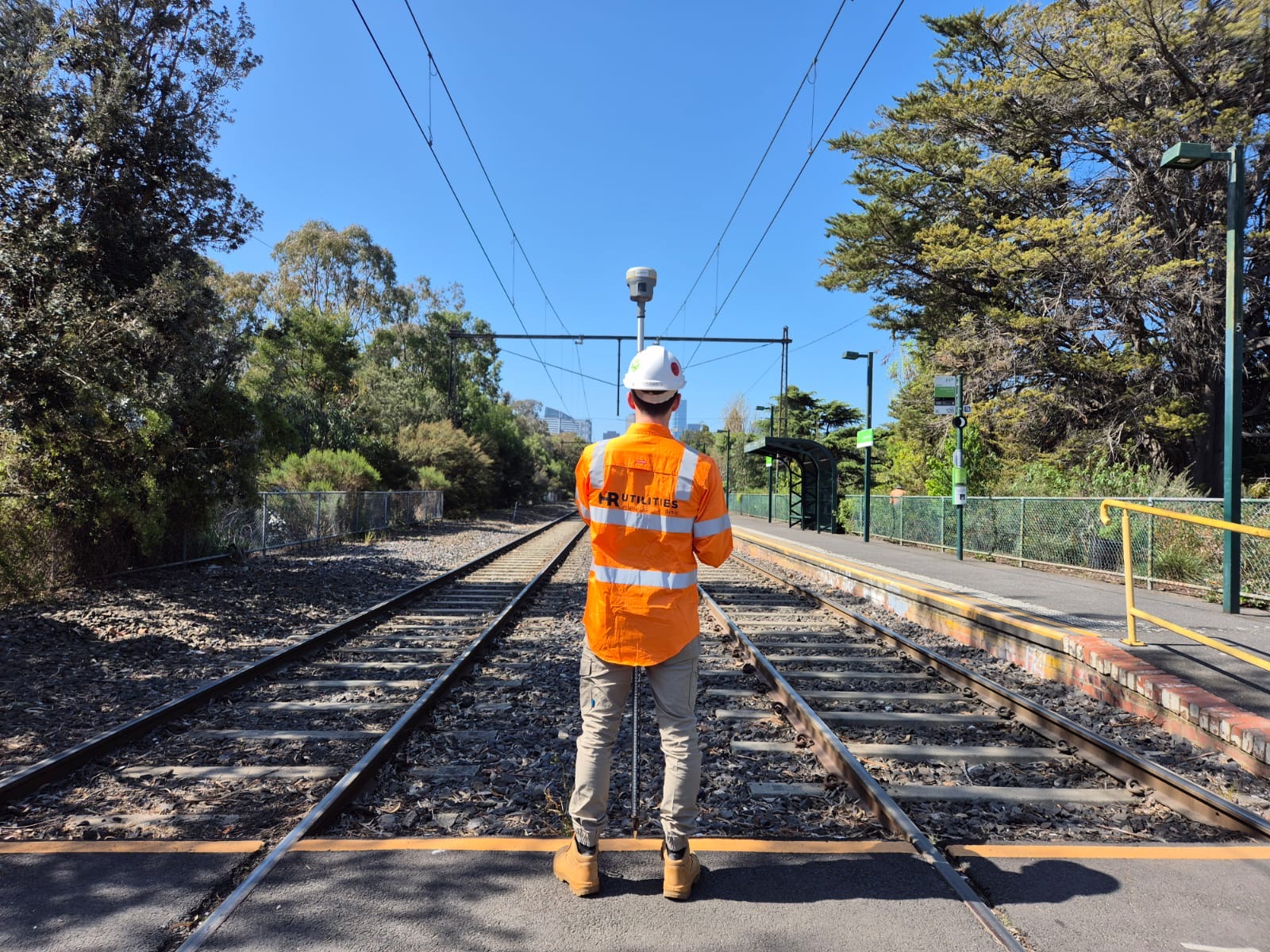
EM locating
Electromagnetic locating is the fastest way to trace metallic pipes, cables, and conduits. HR Utilities uses conductive, inductive, and passive EM modes to find services that carry or can carry a signal.
We pair EM locating with GPR and survey control so non-metallic services and service corridors still get coverage. All findings are documented for site crews, designers, and project records.
GPR works well for many services, but metallic pipes and cables often give a clearer EM response. Electromagnetic locating lets the technician apply a signal directly or use a signal already on the line.
HR Utilities chooses the EM mode based on access, soil, depth, and site noise. The result is a marked service path with depth indicators where conditions allow.
EM locating suits conductive services and sites where fast, large-area tracing is needed.
Trace water mains, gas services, electrical cables, and communications lines that carry or can carry a conductive signal.
Apply a transmitter signal directly to a service via an access point for precise tracing over long distances.
Trace services without direct access by inducing a signal or detecting a signal already present on the line.
Use GPR where services are non-metallic, depth is uncertain, or EM interference limits confidence.
HR Utilities matches the EM mode to the service and site conditions.
Review BYDA records, site plans, and visible service indicators such as pits, poles, and meters.
Select conductive, inductive, or passive mode based on access and the target service.
Trace the service path and mark findings on site for construction crews.
Record depth indicators where ground conditions and signal quality allow.
Cross-check with GPR and survey the results when mapped deliverables are required.
EM locating traces conductive services. Non-metallic pipes such as PVC or HDPE usually require GPR or traceable insertion methods. HR Utilities can combine methods on the same site.
Depth depends on signal strength, ground conditions, and interference. In typical site conditions, EM locating can trace conductive services to several metres. The technician records depth indicators where the signal supports them.
Yes, when carried out by trained technicians. Passive mode can detect live cables without direct connection. Direct connection is only made to safe access points by qualified operators.
Expert utility locating services with BYDA certified precision.
Serving projects across Australia with advanced subsurface mapping solutions.