
No. LiDAR maps surface features, not buried utilities. HR Utilities uses LiDAR-style surface context with GPR and electromagnetic induction when a project needs underground utility detection.
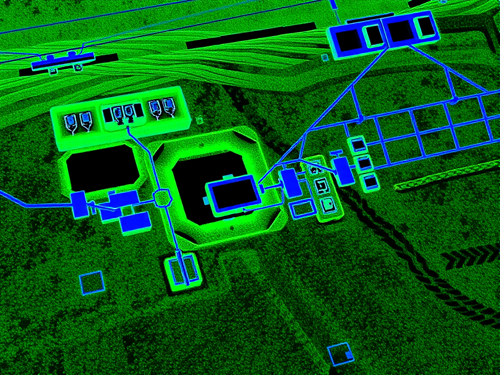
LiDAR creates accurate surface models. GPR and electromagnetic induction investigate buried pipes, cables, ducts, voids, and service corridors. The strongest utility mapping workflow uses the right method for each layer of the site.
LiDAR cannot directly detect underground utilities. It adds surface context when the team combines it with GPR, electromagnetic induction, and survey control.

LiDAR excels at creating detailed three-dimensional maps of surface features and terrain, providing context for underground utility planning.

LiDAR maps above-ground infrastructure that can help teams understand likely underground utility corridors.

LiDAR data combined with ground penetrating radar and electromagnetic induction provides complete underground visualization.

LiDAR offers millimeter-level accuracy in measurements, essential for precise utility location and excavation planning.
At HR Utilities, we combine multiple methods for underground utility detection:
Create detailed 3D models of surface features and infrastructure
Use GPR and EMI to detect underground utilities
Combine field data for utility mapping outputs
No. LiDAR emits laser pulses that reflect off solid surfaces, so the signal stops at the ground. Buried pipes and cables are invisible to it. Ground penetrating radar (GPR) sends radar energy into the ground and can image buried utilities; electromagnetic induction (EMI) traces metallic services. Neither LiDAR type — airborne, terrestrial, or mobile — sees below the surface.
LiDAR measures surface geometry with laser pulses, achieving millimetre-level accuracy on visible terrain and structures. GPR transmits electromagnetic pulses into the ground and reads the reflections to locate buried objects — pipes, cables, ducts, and voids — at AS5488 QL-B accuracy when combined with survey control. LiDAR answers where the surface is; GPR answers what is underneath it.
Typical utility GPR depth range in Melbourne conditions is 1–3 metres depending on antenna frequency and soil type. Dry, sandy soils give deeper penetration; conductive clay — common in Melbourne — attenuates the signal and cuts range. For depth certainty beyond what geophysics can deliver, non-destructive digging (potholing) exposes the service to AS5488 QL-A accuracy.
Yes, as a complement, not a replacement. LiDAR surface models give survey-grade context: ground levels, building edges, above-ground infrastructure, and likely utility corridors. Overlaid with GPR and EMI detection data, it produces a complete above- and below-ground model for excavation planning. The underground data itself always comes from geophysical detection or physical exposure.
For the full workflow from surface model to surveyed utility plan, see our underground service locating guide, or read about potholing in Melbourne where QL-A physical verification is required.
Our experts combine LiDAR technology with ground penetrating radar and electromagnetic induction for underground utility mapping. Learn more about our GPR services, LiDAR underground mapping, and underground utility work.
Expert utility locating services with BYDA certified precision.
Serving projects across Australia with advanced subsurface mapping solutions.