
Transform your underground utility projects with our cutting-edge LiDAR technology. We provide precise, three-dimensional mapping of subsurface infrastructure for enhanced safety and efficiency.
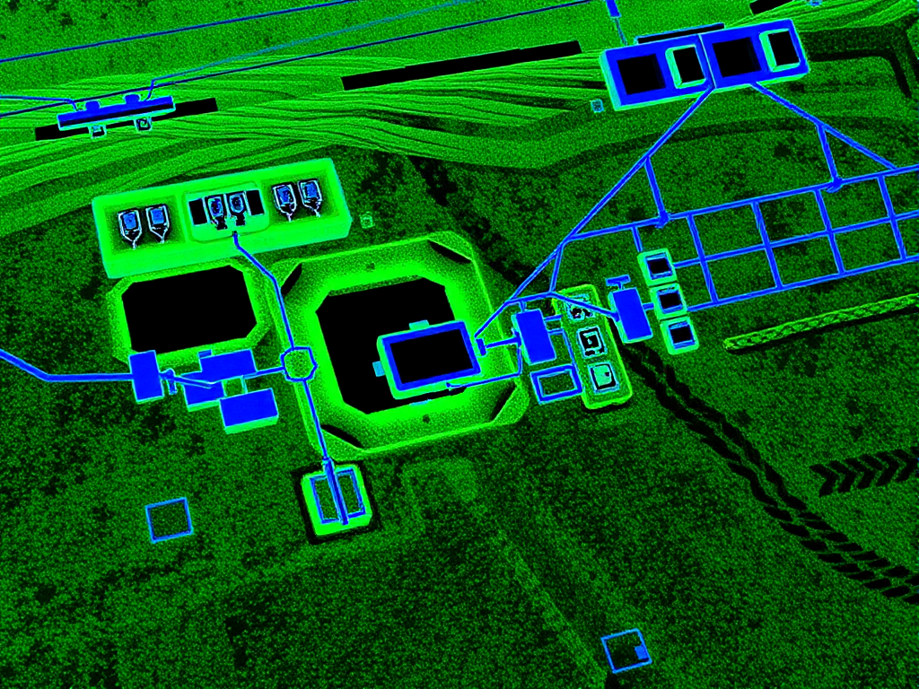
Our LiDAR technology revolutionizes underground utility mapping by providing unprecedented accuracy and efficiency in infrastructure surveys.

LiDAR captures precise spatial data, significantly reducing errors in identifying the location, depth, and type of underground utilities.

The ability to rapidly collect data over extensive areas streamlines workflows, saving time and resources compared to conventional methods.

By offering a three-dimensional view of subsurface utilities and their spatial relationships, LiDAR enables better planning and decision-making.

Accurate mapping minimizes the risk of accidental damage during construction or excavation, ensuring the safety of workers and the community.
Our implementation of LiDAR technology follows a systematic approach to ensure maximum accuracy and reliability in all our underground mapping projects.
Our new LiDAR drones capture high-resolution data from project sites, providing detailed three-dimensional maps.
Raw data is cleaned and prepared for analysis to ensure maximum accuracy in the final deliverables.
Data is aligned with existing utility records using Geographic Information Systems (GIS) for comprehensive visualization.
Cross-referencing with known records ensures accuracy before finalizing utility maps for your project.
Discover how LiDAR technology is transforming utility infrastructure surveys in our detailed article on precision underground mapping with LiDAR technology. For general utility work services, explore our underground utility work page.
LiDAR is a surface technology, and that matters when you scope a mapping job. It measures light reflected back from the ground surface, terrain, pavements, buildings, and exposed infrastructure to millimetre accuracy. It cannot see through soil, concrete, or asphalt.
That is why LiDAR underground mapping is a combined workflow: GPR and electromagnetic locating detect the buried service, and the LiDAR survey provides the three-dimensional reference frame that fixes those detections in space. The result is a map with both the surface and the services under it in one model.
| Question | LiDAR | GPR / EMI |
|---|---|---|
| What it measures | Surface, terrain, exposed assets | Buried services and their alignment |
| Depth information | None below the surface | Inferred at QL-B, verified at QL-A |
| Best at | Large corridors, as-builts, terrain context | Clash points, congested corridors, non-metallic assets |
| Output | Point clouds and 3D surface models | Attributed AS5488 quality-level maps |
The two methods are complementary, not competing. For a full answer on what LiDAR can see below ground, read can LiDAR see underground.
LiDAR adds the most value on projects where surface and subsurface data need to live in the same model.
Fly the corridor once, capture terrain and exposed features, and scope the detecting work against a consistent surface model.
Overlay detected utility positions on the LiDAR surface model so piles, footings, and HDD paths are checked in true three dimensions.
Scan open trenches and newly installed services before backfill, leaving an accurate record of what actually went in the ground.
Build and refresh utility asset registers for councils, utilities, and facility managers with a repeatable capture method.
No. LiDAR measures surfaces, not buried assets. Underground services are detected with ground-penetrating radar (GPR) and electromagnetic locating, then positioned in three dimensions using the LiDAR survey as the reference frame.
LiDAR underground mapping supports pre-tender surveys, design clash detection, as-built capture, and asset registers on large corridors. It is most valuable where terrain and surface features must be tied to detected utility positions in a single 3D model.
They answer different questions. GPR detects buried services; LiDAR maps the surface and exposed assets. For underground mapping you need both: GPR and EMI detect the utility, LiDAR and survey equipment fix it in three-dimensional space.
LiDAR surface models are accurate to millimetre level. Combined detections are delivered to AS5488 quality levels: ±300 mm horizontal and ±500 mm vertical for geophysical detection (QL-B), tightening to ±50 mm where services are physically exposed (QL-A).
Expert utility locating services with BYDA certified precision.
Serving projects across Australia with advanced subsurface mapping solutions.