Accurate underground utility mapping for civil infrastructure, subdivision, mining, and renewable energy projects. Survey-grade data in CAD, GIS, and BIM formats — from desktop review through to physical exposure.
Subsurface utility mapping is the complete process of detecting, locating, and documenting underground utilities — producing data that engineers, architects, and project managers can use directly in their design software.
Basic utility locating tells you where a pipe is. Subsurface utility mapping tells you where it is, at what depth, to survey-grade accuracy, in a coordinate system your design team already uses — MGA and AHD.
Working to AS5488, HR Utilities delivers data from QL-D (desktop review) through to QL-A (physical exposure with surveyed position). Most projects require QL-B — detection using EMI and GPR with verified position — which gives design teams the confidence to proceed without the cost of full excavation. All data is delivered in your required format — see our utility data deliverables catalogue for details.
Australian Standard 5488 defines four quality levels for subsurface utility information. HR Utilities delivers across all four.
Compilation of existing utility records and plans. Provides a preliminary understanding of known services.
Visual inspection of surface features (pits, valve covers, marker posts) correlated with existing records.
Active detection using EMI and GPR. Utilities are traced, marked, and positioned — the standard quality level for design.
Physical exposure via potholing or vacuum excavation, with precise survey of exposed utility position. Maximum confidence.
Learn more about AS5488 quality levels in our AS5488 overview and quality level guide.
A four-stage process aligned with AS5488 requirements — from records review to georeferenced deliverables.
We review existing utility plans, BYDA information, and historical site records to establish a baseline understanding of the subsurface environment.
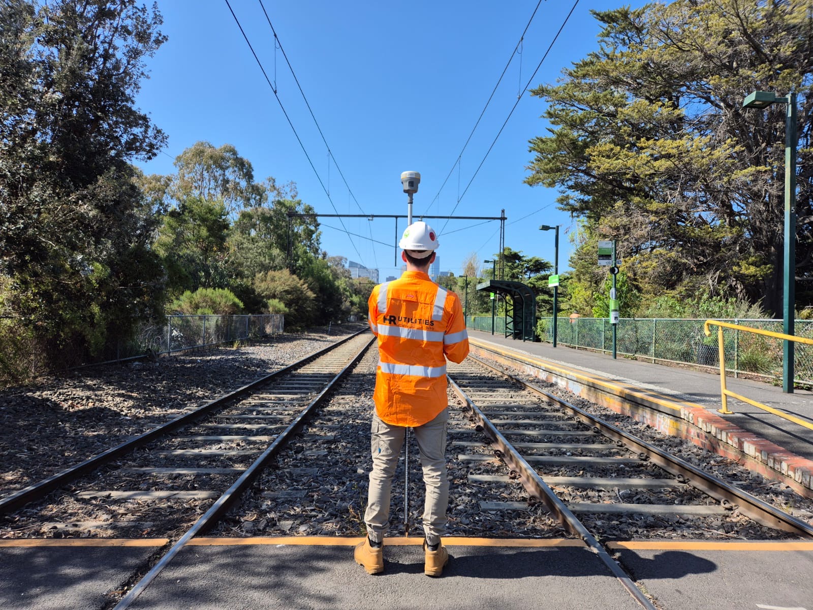
Our NULCA-certified technicians use a combination of EMI, GPR, and GPS to detect, trace, and position underground utilities with survey-grade accuracy.
Field data is processed and assigned to the appropriate AS5488 quality level, with all features georeferenced to MGA and AHD.
You receive CAD plans, GIS files, or BIM models — in whatever format your design team requires.
Any project that involves excavation near existing services needs subsurface utility mapping. The question is what quality level and what format.
Subsurface utility mapping is the process of detecting, locating, and documenting underground utilities — including water mains, gas pipelines, electrical cables, telecommunications, and drainage — using electromagnetic induction, ground penetrating radar, and GPS surveying. Output data is delivered in CAD, GIS, and BIM formats referenced to MGA and AHD datums for engineering use.
HR Utilities delivers subsurface mapping across all AS5488 quality levels — from QL-D (desktop review of existing plans) through QL-B (detected and verified) to QL-A (physically exposed and surveyed). Most projects require QL-B for design, with QL-A reserved for critical infrastructure or areas where exact position must be confirmed. Contact our team to discuss the appropriate quality level for your project.
Standard deliverables include CAD plans (DWG/DXF), GIS shapefiles and geodatabases, 3D string models, PDF overlays, and IFC/BIM models for integration with Revit and other BIM platforms. All data is georeferenced to MGA and AHD. We can also provide up-to-date aerial base maps and combined surface/subsurface visualisations on request.
Subsurface utility mapping is required for civil infrastructure projects, subdivision developments, mining operations, renewable energy installations (wind and solar), commercial building construction, and any project involving excavation near existing services. It is a critical safety and compliance step before ground disturbance.
Expert utility locating services with BYDA certified precision.
Serving projects across Australia with advanced subsurface mapping solutions.