Before excavation near known services
Confirm service alignment and depth indicators before trenching, drilling, piling, or cutting near existing utilities.
Service proving
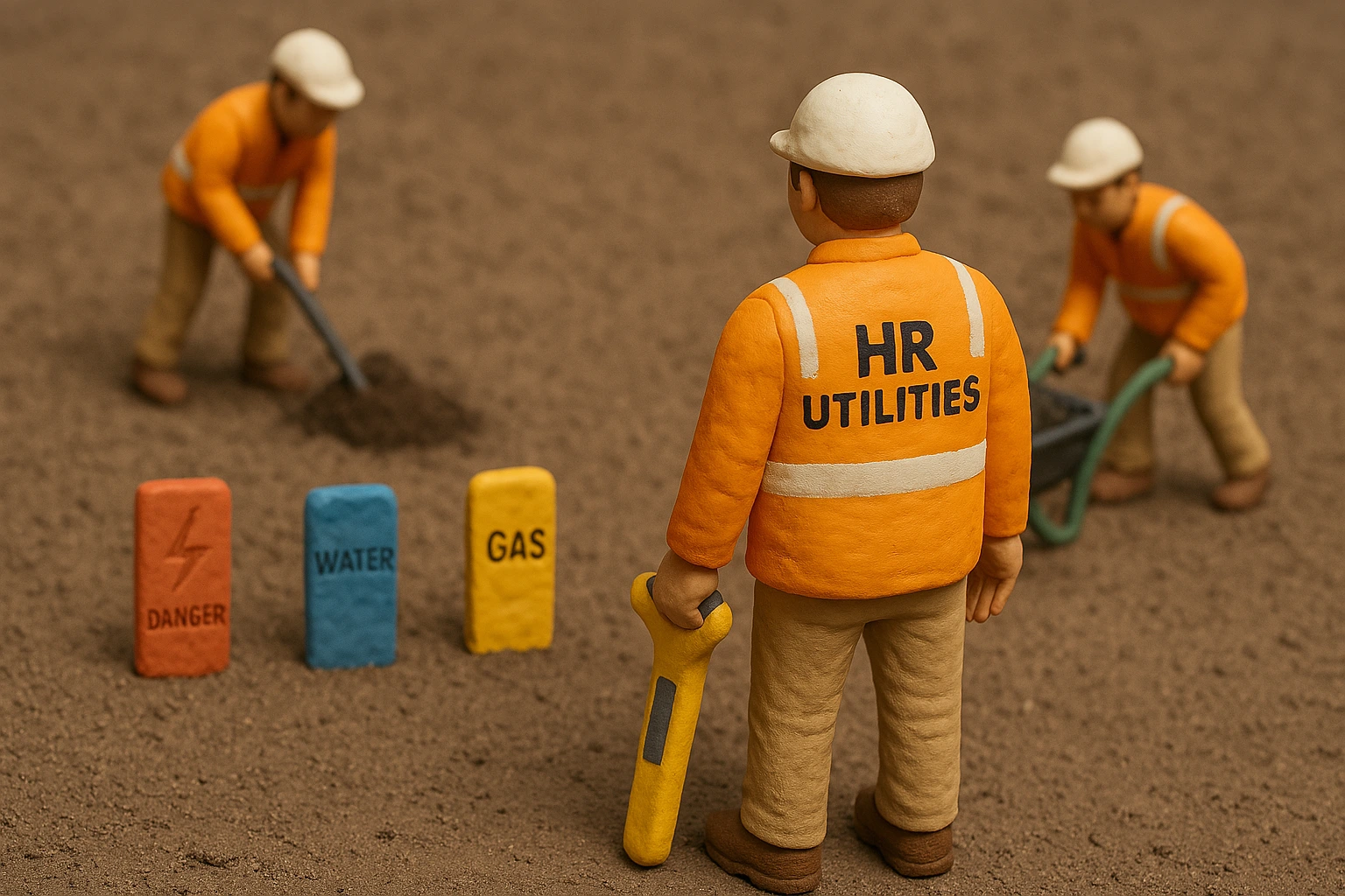
Plans and paint marks do not give you enough certainty at a clash point. HR Utilities helps project teams prove service position before excavation, design freeze, or handover.
Our locators use Ground Penetrating Radar, electromagnetic induction, and survey control to confirm alignment, depth indicators, and data quality. Your team gets records it can use in CAD, GIS, and site planning.
A service clash can stop design, delay excavation, or force a late redesign. BYDA records help you start the investigation, but your team still needs field evidence before working near buried assets.
Service proving gives engineers, supervisors, and contractors a clearer basis for decisions. HR Utilities locates the service, records the confidence level, and shows where further verification may be required before high-risk work proceeds.
Use this page when the site team needs a utility position checked before committing people, plant, or design effort.
Confirm service alignment and depth indicators before trenching, drilling, piling, or cutting near existing utilities.
Give designers survey-ready utility data before drawings lock in a route, footing, or corridor.
Use GPR and EMI to test BYDA records against actual site conditions when plans look old, incomplete, or inconsistent.
Document what was detected, how it was detected, and what confidence level the project team should apply.
The scope changes by site, but the logic stays the same: start with records, test the ground, then document the result.
Review BYDA records, existing plans, and visible site features.
Select the field method: electromagnetic induction, GPR, or both.
Trace, scan, and mark the service alignment with depth indicators where conditions allow.
Survey the findings to the required datum and label the data to AS5488 quality levels.
Flag locations that need physical exposure or added verification before high-risk works.
Service proving uses utility locating methods, but the intent is narrower. The team wants to confirm a service position, depth indicator, or clash risk before a design or excavation decision.
Yes. HR Utilities uses GPR, electromagnetic induction, visible site evidence, and survey control to investigate services that records miss or describe poorly.
Yes, when the scope requires digital output. HR Utilities can provide CAD, GIS, PDF, and other survey-ready deliverables referenced to MGA and AHD.
Expert utility locating services with BYDA certified precision.
Serving projects across Australia with advanced subsurface mapping solutions.