
AS5488 in brief: quality levels, tolerances, and compliance
Published on 4/1/2025 by HR Utilities
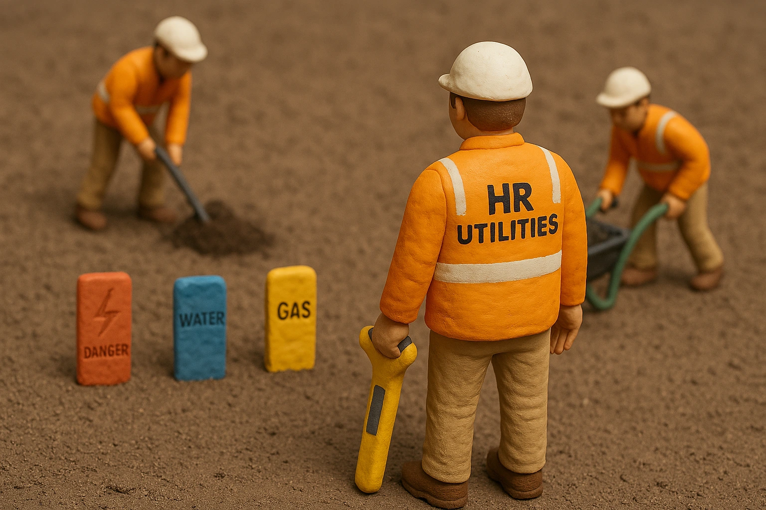
Australian Standard AS5488 serves as the cornerstone for managing subsurface utility information across construction and infrastructure projects. By establishing rigorous frameworks for data classification and engineering practices, AS5488 ensures that utility investigations prioritize safety, accuracy, and cost-efficiency. This article explores the structure of AS5488, its quality-level classifications, tolerance accuracies, and the inherent limitations of common detection technologies. For clients engaging in subsurface projects, understanding these elements is not merely beneficial—it is essential to mitigating risks, avoiding delays, and safeguarding personnel.
Overview of AS5488: Standardizing Subsurface Utility Engineering
The Australian Standard AS5488, comprising Part 1 (2022) and Part 2 (2022), provides a systematic approach to classifying and managing subsurface utility information (SUI). Developed in alignment with global best practices in subsurface utility engineering (SUE), AS5488 addresses the historical challenges of inconsistent utility data, which often lead to costly redesigns, construction delays, and safety incidents. Its primary purpose is to harmonize how engineers, surveyors, and contractors collect, interpret, and communicate subsurface data.
The Evolution of SUE in Australia
Prior to AS5488, Australia lacked a unified framework for subsurface investigations, relying instead on fragmented state guidelines and anecdotal records. The adoption of AS5488 in 2013 (and its subsequent updates in 2022) introduced four standardized Quality Levels (QL-A to QL-D) to categorize the reliability of utility data. These levels enable stakeholders to assess risks objectively and make informed decisions during project planning. For instance, while QL-D represents unverified historical records, QL-A involves validated three-dimensional coordinates obtained through direct measurement. This hierarchy ensures that all parties—from designers to excavators—share a common language for evaluating data credibility.
Integration with the Dial Before You Dig (DBYD) System
A critical component of AS5488 is its alignment with Australia’s Dial Before You Dig process, which mandates consultation with utility owners before excavation. However, DBYD data alone often falls under QL-D due to its reliance on outdated plans or incomplete records. AS5488 complements DBYD by requiring higher-quality verification through geophysical surveys or non-destructive excavation, therefore reducing the likelihood of accidental strikes.
Quality Level Classifications: From Historical Records to Validated Data
AS5488’s four-tier Quality Level system forms the backbone of its risk management strategy. Each level corresponds to specific methodologies for data collection and defines the permissible uses of that data in engineering designs.
| Quality Level | Data Source | Verification Method | Typical Uses | Risk Level |
|---|---|---|---|---|
| QL-D | Historical records, DBYD | None | Preliminary planning | Very High |
| QL-C | Surface features | Visual survey | Initial design | High |
| QL-B | Geophysical detection | EML, GPR | Design development | Moderate |
| QL-A | Physical exposure | Vacuum excavation | Construction | Low |
Quality Level D (QL-D): Unverified Historical Data
QL-D represents the lowest accuracy tier, relying on existing records, anecdotal evidence, or unconfirmed surface features. Examples include legacy utility maps, DBYD plans without recent updates, or oral accounts from site personnel. While QL-D provides a preliminary understanding of subsurface conditions, its high uncertainty makes it unsuitable for excavation planning. Projects relying solely on QL-D data face elevated risks of utility strikes, which can result in service disruptions, injuries, or regulatory penalties.
Quality Level C (QL-C): Surface Feature Correlation
QL-C improves upon QL-D by incorporating site surveys of visible utility features such as manholes, valves, or meter boxes. Ground-penetrating radar (GPR) may often be used to map utilities horizontally. GPR can struggle in conductive soils, limiting its effectiveness. By interpolating subsurface paths between these points, engineers estimate utility locations. However, without geophysical verification, QL-C remains approximate and should only guide preliminary designs.
Quality Level B (QL-B): Geophysical Survey Data
QL-B employs non-destructive techniques like electromagnetic locating (EML). While this method enhances accuracy, it cannot confirm/validate depth or material properties. For example, EML detects metallic utilities but fails on plastic or concrete pipes unless tracer wires are present. Despite these constraints, QL-B is widely used for conflict detection in early design phases.
Quality Level A (QL-A): Validated Precision
QL-A represents the highest reliability tier, requiring direct exposure of utilities via vacuum excavation to record their precise 3D coordinates. This process, known as “NDD”, validates utility attributes such as material, diameter, and depth. While resource-intensive, QL-A eliminates guesswork, making it indispensable for high-risk activities like tunneling or piling.
Tolerance Accuracies: Bridging Data Quality and Practical Application
AS5488 assigns tolerance accuracies to each Quality Level, quantifying the positional uncertainty of utility data. These tolerances dictate how closely excavation can approach detected utilities without physical verification.
Tolerance Ranges and Risk Mitigation
- QL-D: No vertical or horizontal tolerance, reflecting the speculative nature of historical data.
- QL-C: No vertical, and +/- 300mm horizontal tolerance, suitable for initial route planning but inadequate for detailed engineering.
- QL-B: +/- 500mm vertical, and +/- 300mm horizontal tolerance, contingent on site conditions and technology used.
- QL-A: +/- 50mm vertical and horizontal tolerances, enabling precise conflict resolution in construction plans.
Understanding these ranges is critical for clients.
Limitations of Utility Locating Techniques: Navigating Technological Constraints
While modern technologies enhance detection capabilities, their limitations underscore the necessity of AS5488 compliance. Clients must recognize that no method guarantees 100% accuracy, and hybrid approaches are often essential.
Electromagnetic Locating (EML) Challenges
EML is perfect for tracing metallic utilities but fails on non-conductive materials like PVC, HDPE, or asbestos cement. Even for metallic pipes, signal degradation in wet or clay-rich soils can obscure readings. Consequently, utilities undetectable via EML default to QL-D unless corroborated by as-built drawings.
For practical guidance on field practice, see our overview of utility locating services and underground service location in Melbourne.
Ground-Penetrating Radar (GPR) Constraints
GPR’s effectiveness hinges on soil conductivity and antenna frequency. Dry, sandy soils permit deep penetration, while conductive clays or saline groundwater attenuate signals rapidly. Additionally, GPR cannot distinguish between utilities and other subsurface anomalies like tree roots or rocks, necessitating QL-A validation for critical applications.
Material and Environmental Interference
Composite materials (e.g., fiberglass-reinforced pipes) and densely packed utility corridors further complicate detection. In such cases, overlapping signals create “ghost lines,” misrepresenting utility positions. AS5488 addresses these scenarios by requiring metadata annotations that detail detection methods and environmental conditions.
Best Practices for Clients: Ensuring Project Success
Proving Utilities Before Excavation
HR Utilities urges that all utilities be physically proven (QL-A) prior to excavation, a policy aligned with AS5488’s risk mitigation principles. Service proving bridges the gap between geophysical detection and physical exposure, giving project teams enough certainty to make design or excavation decisions. This step eliminates residual uncertainties from geophysical surveys, ensuring worker safety and project continuity.
Adopting Complementary Detection Methods
Combining EML, GPR, and vacuum excavation balances cost and accuracy. For example, EML can map metallic lines at QL-B, while GPR identifies non-metallic utilities for subsequent QL-A verification.
Engaging Certified SUE Professionals
AS5488 compliance requires expertise in data interpretation and risk assessment. Engineers Australia’s SUE certification ensures practitioners understand quality-level applications and tolerance implications. Before engagement, verify the team’s training and certification — see our guide to utility locator credentials in Australia for what NULCA, CERTLOC, and CLO status actually mean on the ground.
For projects requiring complete documentation after detection, explore our utility mapping solutions which deliver AS5488‑aligned plans.
AS5488 FAQs
What is the difference between AS5488 and AS5488.1 / AS5488.2?
AS5488 is the family designation. AS5488.1:2022 covers classification of subsurface utility information — the quality levels and their tolerances. AS5488.2 covers the utility data and information requirements: how the data is recorded, attributed, and exchanged. A compliant utility investigation delivers both: correctly classified position and complete, attributed records.
How does AS5488 apply to utility strikes and liability?
Where a strike occurs, the question asked is whether the subsurface information was of appropriate quality for the work performed. A contractor digging against QL-D plan data when QL-A was achievable faces a much harder position than one who followed a staged escalation from BYDA through QL-B detection to targeted QL-A proving. The AS5488 quality level guide sets out that escalation logic in full.
Who is responsible for AS5488 compliance on a project?
The duty spreads across the chain: the client specifies the quality level, the surveyor or SUE consultant classifies and attributes the data, and the excavator works within the tolerance of the level provided. AS5488 itself assigns the classification; the OHS Act and the Safe Work Australia Model Code of Practice for Excavation Work assign the duty to dig safely against it.
Does AS5488 apply outside Victoria?
Yes. AS5488 is a national standard, applied across all Australian states and territories. HR Utilities delivers AS5488-compliant investigations in Victoria, Western Australia, Queensland, and South Australia, and the quality level framework aligns with ASCE 38-22 (US) and PAS 128 (UK) for international projects.
Conclusion: Elevating Safety Through Standards Compliance
Australian Standard AS5488 is not merely a technical guideline—it is a crucial risk management tool that safeguards lives, budgets, and project timelines. By mandating clear Quality Levels, tolerance accuracies, and detection protocols, AS5488 empowers clients to discern between speculative data and actionable intelligence. In an era where aging infrastructure and dense urban environments amplify subsurface risks, adherence to AS5488 is the hallmark of responsible project management. For HR Utilities’ clients, this standard is the blueprint for turning uncertainty into confidence.
Related services:
- Underground Service Locating in Melbourne — practical guide to locating, marking, and mapping before excavation
- Subsurface Utility Mapping Services — QL-D through QL-A delivered in CAD, GIS, and BIM
- AS5488 Quality Level Guide 2026 — Practical decision matrix for choosing the right quality level
- Utility Surveying Services — Georeferenced Survey Plans — MGA/AHD referenced, survey-grade accuracy
- Non-Destructive Digging — vacuum excavation for QL-A physical exposure of buried utilities
- Pre-Tender Utility Investigation — comprehensive utility reports prepared before construction tendering
- Water & Sewer Main Locating — accurate locating of water and sewer infrastructure using EMI and GPR
Need expert subsurface utility investigations compliant with AS5488? Contact HR Utilities for certified specialists using advanced technology and following industry best practices.
Stay Connected:
Frequently Asked Questions
What is Australian Standard AS5488? +
AS5488 is the Australian Standard for classifying subsurface utility information. It defines four quality levels (QL-A to QL-D) so that engineers, surveyors, and contractors share one language for how reliable utility data actually is — from unverified historical plans (QL-D) up to physically exposed and surveyed position (QL-A). Part 1 covers classification and Part 2 covers utility data and information exchange.
What are the four AS5488 quality levels? +
QL-D is historical records and BYDA plans with no field verification. QL-C adds a survey of visible surface features such as manholes and valve boxes. QL-B is geophysical detection with electromagnetic locators and GPR, surveyed to ±300 mm horizontal and ±500 mm vertical. QL-A is physical exposure by vacuum excavation, surveyed to ±50 mm in all axes with material, size, and condition recorded.
Is AS5488 mandatory in Australia? +
AS5488 is a voluntary technical standard published by Standards Australia — it is not legislation. In practice it becomes mandatory wherever a project specification, asset owner, or authority contract requires compliance, which is standard on Australian infrastructure and major civil projects. It is also the benchmark used to judge whether a utility investigation was carried out to an acceptable professional standard, which matters if a strike or a dispute ends up in court.
What is the difference between AS5488 and BYDA? +
Before You Dig Australia (BYDA, formerly Dial Before You Dig) delivers utility owner plans before excavation — a mandatory first step whose data typically sits at QL-D: indicative, no verified depth, no guarantee of position. AS5488 is the classification framework that tells you how much the data can be trusted and what further investigation (QL-C, QL-B, or QL-A) is needed before the ground opens.
How do I buy or access AS5488? +
Both parts of AS5488 are available for purchase from the Standards Australia online store. Part 1 (AS5488.1:2022, approved 14 June 2022) covers classification of subsurface utility information; Part 2 covers the data and information requirements. Many project teams rely on an engineer or SUE consultant who holds the standard rather than buying it themselves.
What changed in AS5488 in 2022? +
The 2022 update to AS5488.1 replaced the 2019 edition and reinforced the quality level definitions, tolerance accuracies, and data attribution requirements. It confirmed QL-A at ±50 mm, QL-B at ±300 mm horizontal and ±500 mm vertical, and strengthened requirements for recording detection methods, limitations, and metadata alongside the utility data.
What is the difference between AS5488 and AS5488.1 / AS5488.2? +
AS5488 is the family designation. AS5488.1:2022 covers classification of subsurface utility information — the quality levels and their tolerances. AS5488.2 covers the utility data and information requirements: how the data is recorded, attributed, and exchanged. A compliant utility investigation delivers both: correctly classified position and complete, attributed records.
How does AS5488 apply to utility strikes and liability? +
Where a strike occurs, the question asked is whether the subsurface information was of appropriate quality for the work performed. A contractor digging against QL-D plan data when QL-A was achievable faces a much harder position than one who followed a staged escalation from BYDA through QL-B detection to targeted QL-A proving. The AS5488 quality level guide sets out that escalation logic in full.
Who is responsible for AS5488 compliance on a project? +
The duty spreads across the chain: the client specifies the quality level, the surveyor or SUE consultant classifies and attributes the data, and the excavator works within the tolerance of the level provided. AS5488 itself assigns the classification; the OHS Act and the Safe Work Australia Model Code of Practice for Excavation Work assign the duty to dig safely against it.
Does AS5488 apply outside Victoria? +
Yes. AS5488 is a national standard, applied across all Australian states and territories. HR Utilities delivers AS5488-compliant investigations in Victoria, Western Australia, Queensland, and South Australia, and the quality level framework aligns with ASCE 38-22 (US) and PAS 128 (UK) for international projects.