
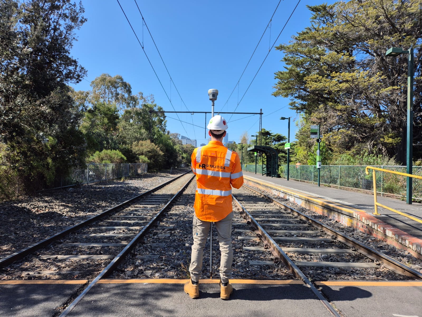
GPR, EML, tracer, and sonde techniques for PVC, HDPE, asbestos-cement, and concrete pipes — verified to AS5488 QL-A across Melbourne and Victoria.
Electromagnetic locating (EML) — the most widely used field technique — works by inducing a signal onto a conductive material and tracing it from the surface. That works well for metallic pipes, cables, and conduits. It does not work for water and sewer infrastructure laid in PVC, HDPE, asbestos-cement, or concrete, because those materials carry no electrical signal.
The practical consequence is that EML alone will produce a clear signal from a nearby gas main or telecommunications conduit while returning nothing at all from a 300 mm PVC water main running parallel, one metre away. Plans that were captured using EML-only methods may simply be missing the non-metallic pipes entirely.
Reliable water and sewer main locating requires a multi-technique approach: EML where metallic pipes and tracer wires are present, ground penetrating radar (GPR) to image non-conductive pipes from the surface, sonde equipment to trace accessible gravity lines from within, and — where positional certainty matters — non-destructive digging to physically expose and survey the asset to AS5488 QL-A.
Melbourne Water requires formal consent before any works are carried out within 5 m of their assets or easements. We support project teams through the consent process.
Melbourne Water's utility installation guidelines require consent for works within 5 m of their assets or easements. Asset Services can be reached on 131 722. Surveys completed to Melbourne Water's specifications — MGA Zone 55, AHD datums, features within 5 m of the asset — are typically required as part of the consent package.
Where excavation is required near Melbourne Water assets, a Permit to Work is issued. This sets minimum clearances between excavation plant and the asset, requires a qualified spotter during work, and in some circumstances requires physical proving (QL-A) of the asset's position before plant gets near it.
The Water Services Association of Australia publishes WSA 03 (Water Supply Systems) and WSA 02 (Sewerage Code) — the industry codes of practice that govern construction and maintenance of water and sewer networks. Our locating and proving work is aligned with these codes, including the requirements for "prove the asset location" before excavation near live mains.
From desktop review through to georeferenced deliverables — a structured process aligned with AS5488 and Melbourne Water requirements.
We compile existing utility records, BYDA plans, and Melbourne Water asset data to establish what is known about the water and sewer network on site before any fieldwork begins.
NULCA-certified technicians apply EML to metallic pipes and tracer wires, GPR to non-conductive PVC, HDPE, and concrete pipes, and sonde equipment where accessible pits or access points are available.
Where positional certainty is required — near structures, at crossings, or within Melbourne Water consent zones — we coordinate non-destructive digging to physically expose and survey the asset to QL-A.
Pipe centrelines, invert levels, material, diameter, and quality-level attribution are delivered in CAD and GIS formats, referenced to MGA Zone 55 and AHD for direct use in design.
See the full deliverables catalogue at utility data deliverables, or read about subsurface utility mapping for broader project scopes.
Standards Australia's Classification of Subsurface Utility Information (SUI) defines four quality levels — QL-D through QL-A. QL-A requires physical exposure to ±50 mm positional accuracy. QL-B geophysical detection delivers ±300 mm horizontal and ±500 mm vertical. We match the quality level to the risk and design requirements of each project.
The Water Services Association of Australia's sewerage and water supply codes set out construction and asset management requirements for water authorities across Australia. Our locating work, including the "prove the asset" requirement within close proximity of live mains, aligns with these codes.
BYDA plans are the required starting point before any ground disturbance in Australia. However, BYDA itself states that plans are indicative only — they default to QL-D, omit depth, and often exclude private services. A BYDA search initiates the process; it does not replace field detection and proving for water and sewer mains.
Our technicians hold NULCA (National Utility Locating Contractors Association) certification, the industry standard for utility locating competency in Australia. NULCA's CertLoc programme sets the baseline for field practice, equipment use, and safety procedures on site.
Vacuum excavation to expose and survey assets to AS5488 QL-A without mechanical damage.
GPR and pit-to-pipe tracing for concrete, clay, and PVC stormwater drainage systems.
Full-scope underground utility mapping in CAD, GIS, and BIM for civil and infrastructure projects.
CAD, GIS, BIM, and PDF formats — georeferenced to MGA Zone 55 and AHD.
Browse the complete range of locating and mapping services HR Utilities provides.
PVC, HDPE, asbestos-cement, and concrete pipes are electrically non-conductive. Electromagnetic locating (EML) works by inducing a signal onto a conductive material — a metallic pipe or cable — and tracking it from the surface. Non-conductive pipes produce no detectable signal, so EML alone cannot trace them. Ground penetrating radar (GPR), tracer wire detection, and sonde equipment are required to locate non-metallic water and sewer mains reliably.
Yes. Our NULCA-certified technicians use ground penetrating radar to detect non-conductive pipes by their contrast with the surrounding soil. Where an accessible pit or access point allows, a sonde (an internal transmitter) can be inserted into the line to trace its route from the surface. For lines with a tracer wire installed at the time of laying, we apply EML to the wire. Combining these techniques achieves reliable detection across most pipe materials.
Yes. Melbourne Water requires consent for any works within 5 m of their assets or easements. We are familiar with Melbourne Water's utility installation guidelines, the Asset Services contact process (131 722), and the Permit to Work requirements, including minimum clearances during excavation. We can assist project teams in understanding these requirements and in providing the survey data Melbourne Water needs before consent is granted.
AS5488.1:2022 defines QL-A as physical exposure of the asset to within ±50 mm positional accuracy. For sewer mains, this means combining GPR or sonde detection at QL-B standard to establish the likely position, then using non-destructive digging (vacuum excavation) to carefully expose the pipe at a representative location. The exposed pipe is then surveyed to MGA Zone 55 and AHD datums. This sequence avoids mechanical damage to the asset and satisfies WSAA codes including WSA 02 (Sewerage).
Standard deliverables include CAD plans (DWG/DXF) and GIS files with pipe centrelines, invert levels, cover levels, material, diameter, and AS5488 quality level attribution. All data is georeferenced to MGA Zone 55 and AHD. For projects requiring QL-A, we provide survey certificates and NDD exposure records. See our utility data deliverables page for the full format catalogue.
Expert utility locating services with BYDA certified precision.
Serving projects across Australia with advanced subsurface mapping solutions.