
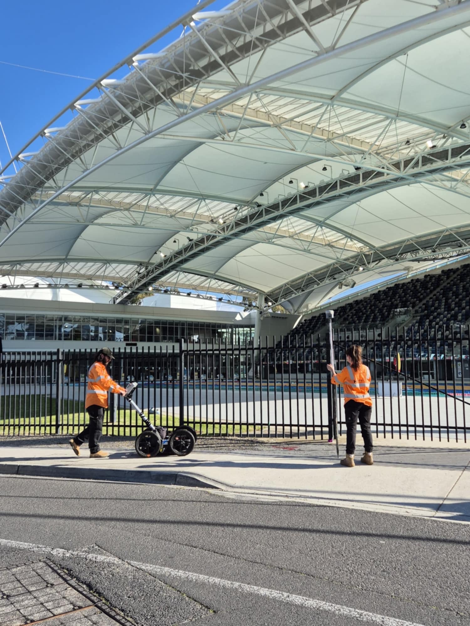
Field locating for Melbourne projects after BYDA: electromagnetic detection, GPR where suitable, clear marks and a handover that states what was found and what still needs checking.
An underground utility locator investigates and marks evidence of buried services before ground disturbance. On Melbourne sites that means more than collecting plans: private connections, altered routes and site constraints may not be resolved by the drawing alone.
HR Utilities runs utility locating services from Huntingdale across metropolitan Melbourne. We review BYDA and site records, select field methods for the target and conditions, and may recommend non-destructive digging where a specific point needs physical confirmation.

We treat BYDA responses as the starting records set, then investigate the defined work area using site evidence and suitable field methods.

Metallic gas and water services respond to EML. PVC/HDPE water pipes, PE gas with tracer issues, and concrete drains need GPR plus proving where clash risk is high.

Congested or access-restricted corridors need a clear work boundary, sequenced methods and a handover that records gaps and uncertainty.

Where a selected point needs physical evidence, targeted non-destructive digging and survey can be scoped after reviewing the locate and asset-owner requirements.
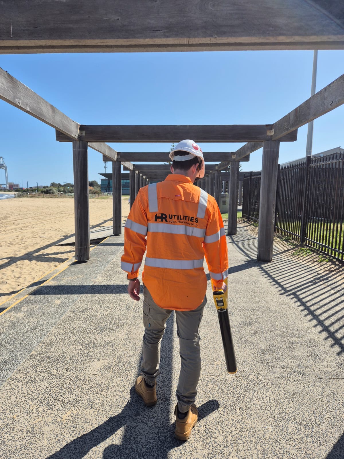
We locate for residential builds, commercial fit-outs, industrial yards, road upgrades, and enabling works across Melbourne CBD, the south-east growth corridor, and northern and western suburbs.
For estimators and principals who need risk priced before award, start with pre-tender utility investigation. For crews already on the tools, book a locate ahead of excavation and brief operators on no-go zone clearances.
Melbourne CBD & inner suburbs South East Melbourne (Clayton, Dandenong, Oakleigh) Northern & western metropolitan corridors Four steps from BYDA records to a documented site handover, with further investigation where the evidence does not support the next decision.
Collect BYDA responses, note gaps, and agree quality levels for the corridor and any known clash points.
Use EM for a suitable conductive path and GPR or accessible traceable methods where they can add evidence.
Mark detections in the agreed area and capture survey data only where it is included in the scope.
Identify expected services not found, unknown responses, inaccessible areas and any points recommended for exposure.
Utility-type and safety pages for teams who need more than a generic locate ticket.
Full locating capability across Victoria.
Vacuum excavation to AS5488 QL-A.
Price underground risk before bid.
Non-conductive main detection.
Metallic, PE, and tracer-wire work.
Drainage assets, not CCTV condition.
WorkSafe VIC / ESV clearances.
Plan, survey and digital output options.
An underground utility locator detects and marks buried services — power, gas, water, sewer, stormwater, and telecommunications — before excavation. In Melbourne, that usually means reviewing BYDA plans, then applying electromagnetic locating and ground-penetrating radar (GPR) on site, with survey pickup of detected positions to AS5488 quality levels.
No. BYDA says asset-owner plans show the presence of infrastructure rather than its exact location, and generally do not show the whole domestic connection. Review every owner response and use site assessment, locating or physical exposure where the work and owner instructions require it.
Electromagnetic locating needs a conductive line or usable tracer wire. GPR can provide evidence for some non-conductive pipes, depending on the target and ground conditions. Where evidence is insufficient for the planned work, a different method or targeted physical exposure may be recommended.
HR Utilities covers Melbourne CBD and inner suburbs, south-east corridors (including Clayton, Oakleigh, Springvale, and Dandenong), and northern and western metropolitan areas from our Huntingdale depot. Regional Victoria and Geelong projects are also supported.
Define the work area, obtain current records, inspect the site, follow each asset owner's instructions and establish a safe system of work. Victorian guidance says BYDA and as-installed plans should not be the only exploration before work begins.
Send the site address, marked work area, planned activity and depth, current BYDA responses, private-service plans, access constraints, target date and required field marks or digital deliverables. HR Utilities will confirm scope and availability.
Book while the design or tender can still respond to what is found. Define the corridor and required evidence first, then decide which detected routes or clash points need survey pickup or physical exposure.
Expert utility locating services with BYDA certified precision.
Serving projects across Australia with advanced subsurface mapping solutions.