Underground Cable Plans and Site Marks: What to Check Before Excavation
Check BYDA cable plans, site marks, depth evidence and excavation controls with a reconciliation table, supervisor handover and pre-excavation checklist.
• Utility Locating

Expert insights and technical guidance from our team of utility locating specialists. Discover articles covering utility location, CCTV inspections, concrete scanning, and utility surveying.
Check BYDA cable plans, site marks, depth evidence and excavation controls with a reconciliation table, supervisor handover and pre-excavation checklist.
How pipe material, tracer wires, access and ground conditions guide EM, GPR, sonde, CCTV and targeted exposure when locating underground pipes.
Diggers booked, plans in hand, ground unmarked. What Melbourne teams should expect from field locating after BYDA: AS 5488 quality levels, GPR, and WorkSafe no-go zones.
Utility strikes cost Australia ~$4.6B every year. Understand why QL-D data leaves projects exposed, the AS5488 prevention hierarchy, and how to design strike risk out before the first sod is turned.
BYDA plans only go so far. Learn which underground services are public asset owner records, which are private, and what to do before excavation when the plans don't match the site.
A practical pre-excavation checklist for Australian construction teams: BYDA records, GPR and EMI locating, AS5488 quality levels, service proving, and survey-ready outputs.
What CERTLOC certification is, how it differs from NULCA training and AS5488 data quality, and how to verify the credentials of utility locators on your next project.
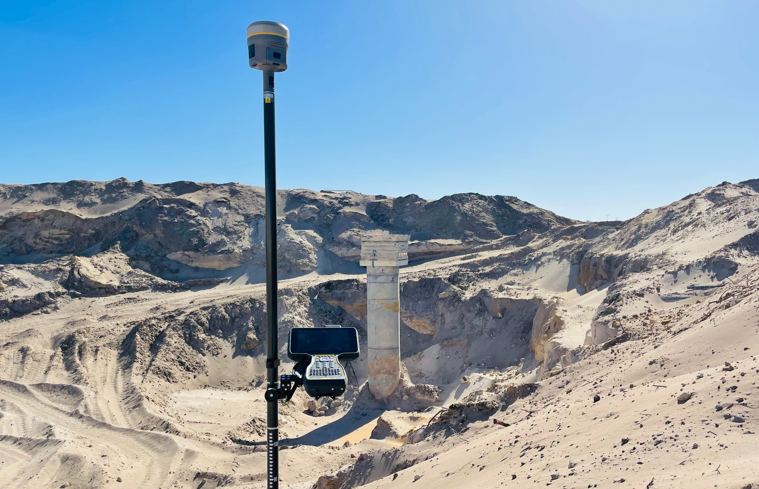
Not sure which AS5488 Quality Level your project actually needs? This guide breaks down QL-D through QL-A with a practical decision matrix, escalation guide, and 2026 compliance notes for Australian construction teams.
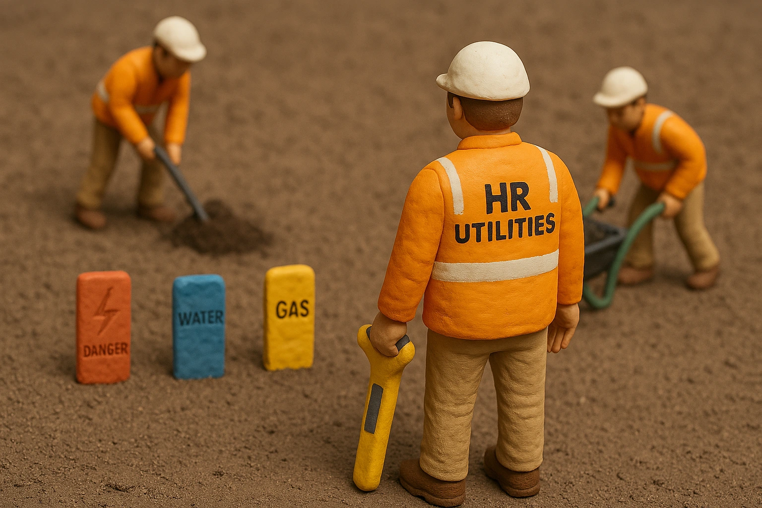
What Australian Standard AS5488 covers, the four quality levels (QL-A to QL-D), tolerance accuracies, and how the standard interacts with BYDA, GPR, EML, and vacuum excavation.
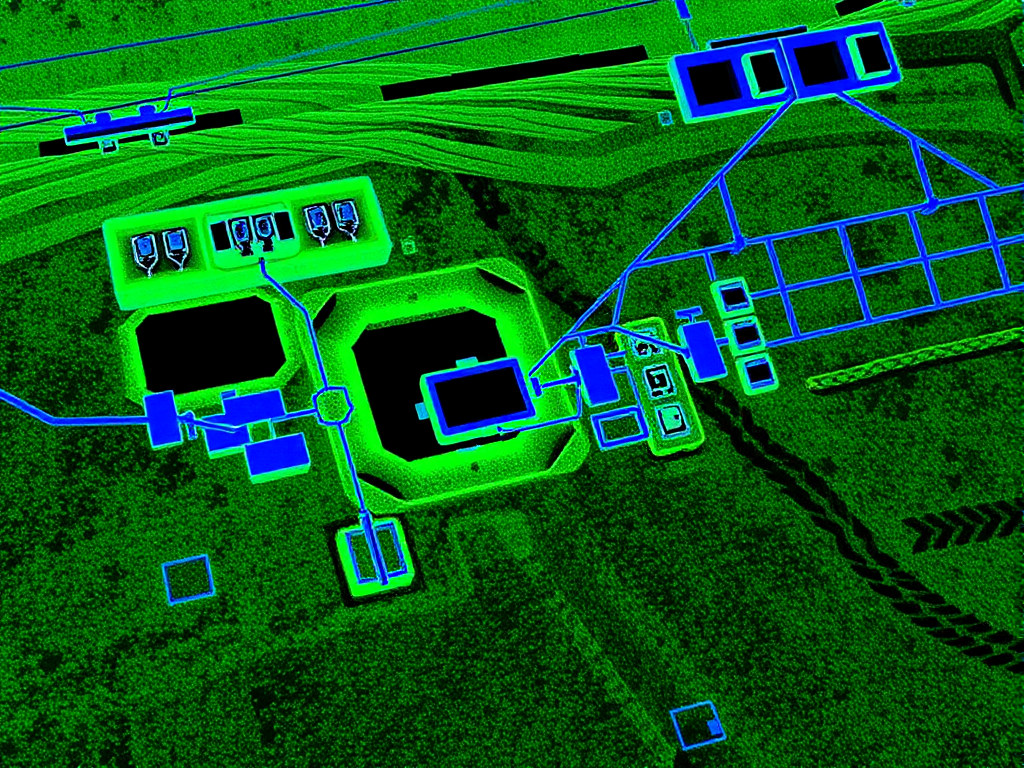
Discover how HR Utilities is optimizing underground utility mapping with our cutting-edge LiDAR drone technology, offering high accuracy and efficiency in infrastructure surveys.
Discover how CCTV inspections are transforming underground infrastructure maintenance in Geelong and Victoria, offering non-invasive solutions for pipeline assessment and maintenance.
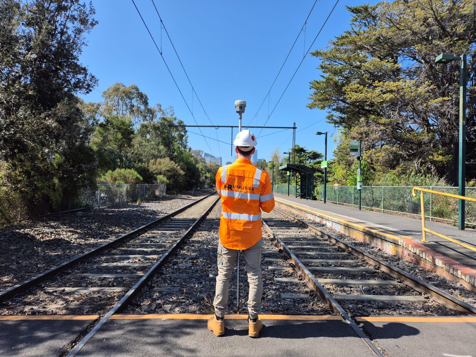
Explore career opportunities in underground utility locating across Australia's growing infrastructure sector, including salary benchmarks, training requirements, and industry growth trends.
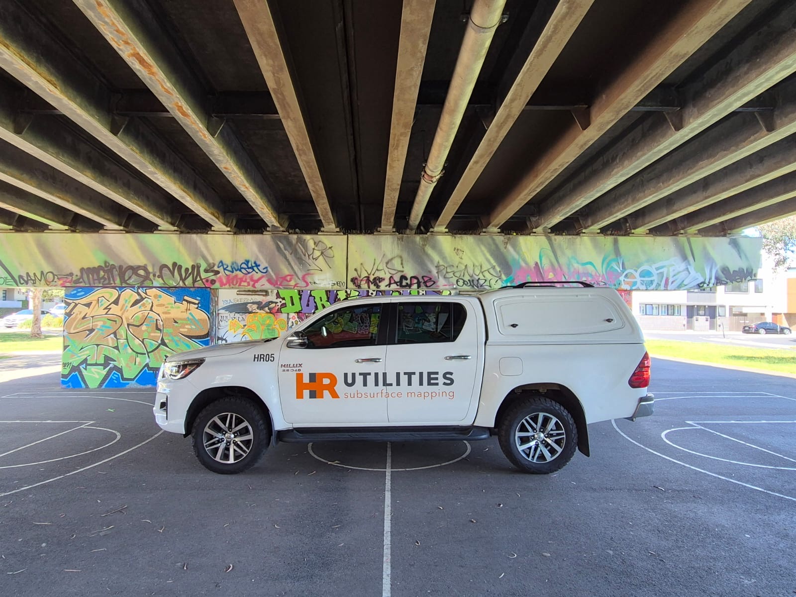
Comprehensive guide to underground utility mapping services in Geelong and Greater Melbourne, covering advanced technologies, local challenges, and professional standards.

How Melbourne teams use BYDA plans, site evidence, electromagnetic locating, GPR, field marks and targeted service exposure before excavation.